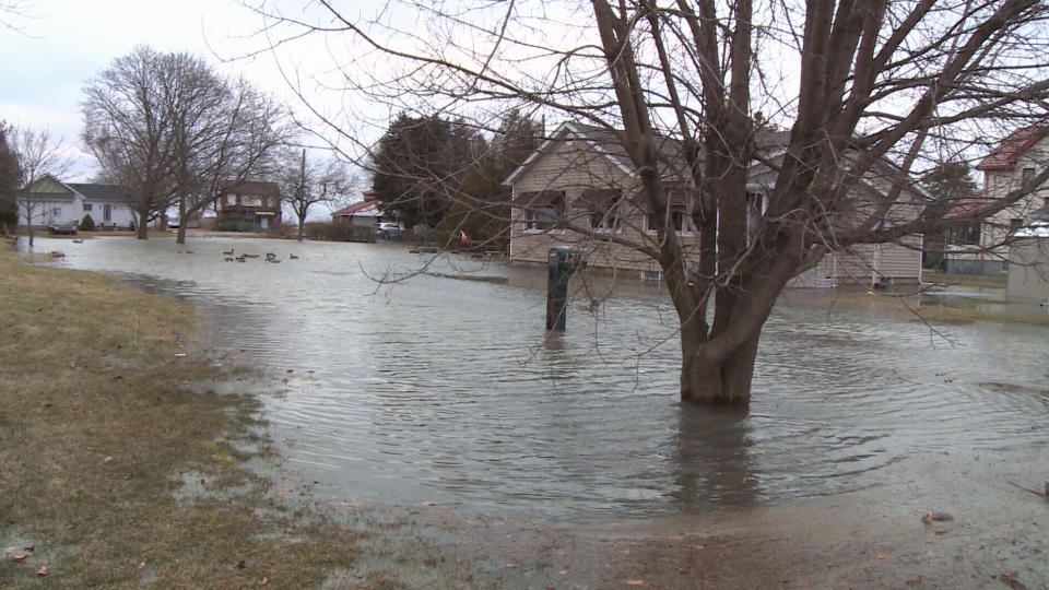
The Essex Region Conservation Authority has issued a flood warning for parts of Essex County.
Strong winds out of the east/southeast have caused flooding to occur in the Southeast Leamington area, specifically along the shoreline of Lake Erie between Wheatley Harbour and Point Pelee.
People are cautioned to avoid this area.
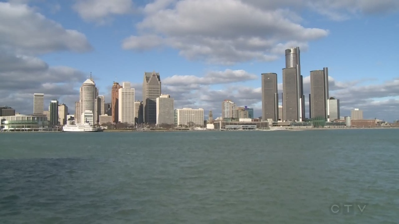
Areas that may also be impacted by this wind event include the remainder of the Lake Erie shoreline to the mouth of the Detroit River, which includes the western portion of Leamington, Kingsville, Essex, Amherstburg and the north and east shores of Pelee Island.
The extend of potential flooding is limited to the low-lying beach communities of the affected municipalities and municipal and county roads in close proximity to the Lake Erie shoreline.
In addition to the above, the wind speed and direction may have an effect on elevating water levels in tributary rivers draining into the western basin of Lake Erie.
The elevated water levels together with increased wave activity increases the possibility of nearshore erosion, breakwall damage and wave overtopping with splashing and spray.
Due to the current high lake levels, ERCA says the City of Windsor should continue to monitor water levels along the flood control dykes within the Little River Drain corridor.
Due to the current high lake levels, Leamington should continue to monitor the flood control dykes in the Southeast Leamington area, including the Mersea Road 1 Dyke and the Marentette Dyke.
The southern section of the Marentette Beach Road dyke that provides protection for the inland Marentette Dyke has sustained damage from recent storms through Spring 2019.
Due to the damage sustained to the outer layer of protection, the interior corner of the Marentette Dyke is more exposed to direct wave impact from Lake Erie, increasing its susceptibility to erosion and risk to flooding.
Leamington is actively working to assess the damage and coordinate corrective actions to restore an appropriate level of protection.
People should take extra caution to avoid areas where flooding is occurring as well as rivers, streams, and shoreline areas during significant rainfall and wind/lake wave events.
The combination of slippery banks, waves, waves overtopping breakwalls, and fast moving water can be dangerous.
The advisory is in effect until 10 a.m. Thursday.


