The Essex Region Conservation Authority has issued a flood outlook for parts of the Lake Erie shoreline.
Current forecasts are predicting southwesterly winds Tuesday and continuing through to Saturday.
Sustained wind speeds of 30 kilometres per hour, with gust to 50 km/hr are possible.
The current wind forecasts and predicted lake water elevations are under “flood watch” thresholds, however, the potential areas of the region that could be most affected by the southwest winds are the south and west shorelines of Pelee Island, the shoreline of Leamington (west of the tip of Point Pelee National Park) and the shorelines of Kingsville and Essex.
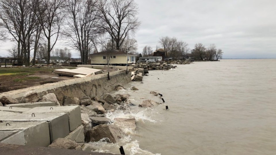
ERCA says portions of the west shoreline of Pelee Island have been significantly damaged by recent lake wind events. The existing damage includes breakwall failures, erosion and related damage to sections of the adjacent roadway.
In addition, portions of shorelines in Leamington, Kingsville and Essex have also sustained damage during the recent high lake level storm events.
ERCA says impacted breakwalls are vulnerable to further damage from additional southwesterly wind events.
Based on the predicted winds and high lake levels, there is the potential for near shore erosion with waves overtopping breakwalls.
Waves overtopping the breakwalls have the potential to transport rocks and debris onto the adjacent lands. In the areas of direct wave attack, there is also the potential for further breakwall damage.
People should take extra caution and avoid shoreline areas during wind/lake wave events.
This advisory is in effect until 9 a.m. on Saturday.


