It’s going to be everything plus the kitchen sink Thursday as two weather systems clash over southwestern Ontario.
The Essex Region Conservation Authority has raised a flood statement to a warning, ahead of a system that could produce 25 mm to 50 mm of rain by end of day Friday.
Environment Canada has issued a rainfall warning for southern Ontario in cities and counties from Windsor, through the London area and all the way to Peterborough.
Fahrhall Home Comfort say this is the perfect time to check your sump pump system. They say if the system is not working properly, it could back up into your basement.
Forecasters say an Alberta clipper and Texas low are tracking towards the Great Lakes where they are expected to merge and intensify quickly, bringing rising temperatures, significant precipitation and strong winds.
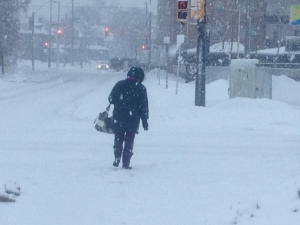
The rain is expected to begin near mid-day Thursday then spread eastward, but it could be preceded by periods of snow, freezing rain or ice pellets as temperatures rise from just below freezing to above.
The highest amounts of rain are forecast to be in the Windsor to Sarnia are through the Hamilton/Niagara corridor, where thunderstorms are also possible.
Significant snow melt due to the rising temperatures is also a concern.
As the rain comes to an end Friday, Environment Canada says winds will increase out of the southwest with gusts to 70 or 80 km/h possible, particularly long the shores of the Great Lakes.
For up to date watches and warnings visit: http://windsor.ctvnews.ca/weather
