The Essex Region Conservation Authority has issued a watershed conditions statement.
Forecasts are predicting a significant amount of precipitation for the southwestern part of Ontario.
The predictions are still unclear with respect to rainfall and storm track, but currently the forecast is for between 25 and 45 millimetres of rainfall between Thursday evening and Saturday morning.
ERCA says due to the recent events, some watercourses still have reduced capacity and the ground is not yet fully dry.
Low lying and poorly draining areas still have standing/ponding water. This will cause greater runoff volumes than normal during this event.
Additionally, wind speeds are expected to increase on Friday as the low pressure system passes through the Essex Region.
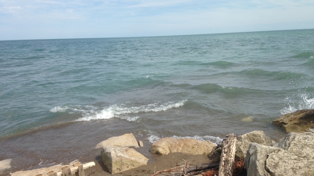
Winds will likely shift out of the north/northwest and increase in speed up to the 40 km/hr range over Lake Erie, with Pelee Island being susceptible to high water and wave action on the north and west shorelines.
The elevated water levels together with increased wave activity increases the possibility for nearshore erosion, breakwall damage, and waves overtopping with splashing and spray.
People should take extra caution and avoid rivers, streams and shoreline areas during significant precipitation and wind/lake wave events.
The combination of slippery banks, waves, waves overtopping breakwalls, and fast moving water can be dangerous. Standing water can also present its own unseen hazards. Children, pets, and livestock should be kept away from flowing, standing water, and shoreline/breakwall areas.
This advisory is in effect until 12 p.m. on Saturday.


