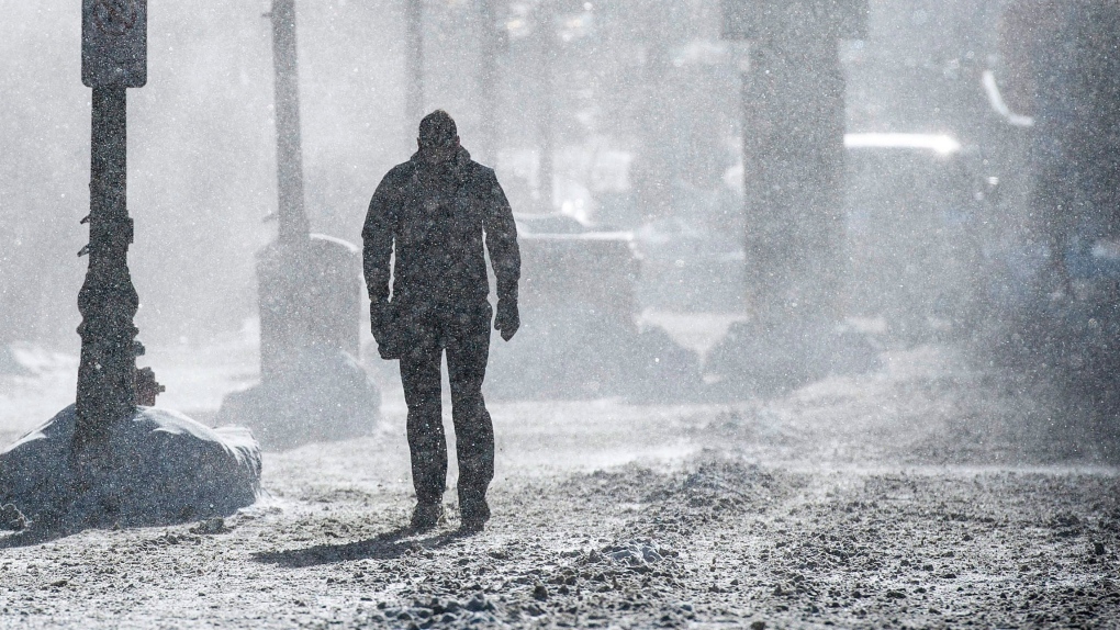
TORONTO - Looking to break out of winter's icy clutches? The Weather Network has some bad news - you're stuck in a frigid embrace for a while longer.
The network says bitter cold and record snowfalls that have made this a tough winter across most of the country means spring weather will be a while in coming.
Chief meteorologist Chris Scott says the network's spring outlook is calling for a colder-than-normal month of March from Alberta and all points east.
He says heavy snowpacks in parts of the country plus heavy ice cover across the Great Lakes will help keep temperatures below seasonal averages.
Scott says British Columbia is expected to be the only province to buck the trend, with an unusually mild winter giving way to an early spring in that province.
He says occasional bursts of warm air from the U.S. will inject some variety into the overall weather trends, but he's more than usually certain of this season's long-range forecast.
The wintry conditions that prevailed across most of Canada have taken a lot of the guesswork out of this year's projections, he said, adding unseasonably low temperatures and high precipitation levels have taken hold virtually everywhere east of the Rockies.
Most notably, he said, Ontario and Quebec have had to contend with record-breaking cold while Atlantic Canada has been buried under unprecedented snowfalls, particularly in New Brunswick and Prince Edward Island.
These conditions have ensured that the Great Lakes are more than 80 per cent covered in ice, Scott said, adding that figure is still growing and is on pace to rival the all-time record of 95 per cent.
“That ice is going to take a while to melt, and even after it melts the water will be quite cool,” Scott said in a telephone interview. “Those factors lead us to a little more confidence in this below normal temperature forecast as we head to spring, especially the first part of it.”
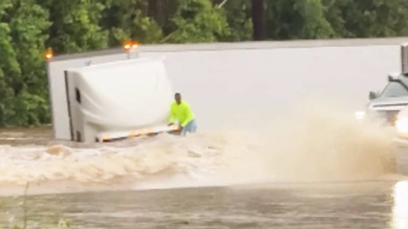
Scott said the occasional shots of warm air moving up from the south will cause some short-term temperature spikes, which he predicted could increase the risk of flooding in some parts of the country.
He hopes the overall trend towards cold will regulate melting speed for the heavy snowpack in Eastern Canada, but warned that any prolonged cycle of thawing and freezing could cause problems.
“If we get that perfect recipe of warm temperatures with rain, flooding could be a possibility. That's something we will be watching for the next six weeks.”
Scott's forecast is calling for temperatures to start reaching normal levels by mid April, though Ontario, Quebec and Atlantic Canada are projected to still hover below seasonal norms.


