The Essex Region Conservation Authority is extending its flood watch until Monday.
ERCA advises the wind direction is forecast to shift this weekend, gusting up to 65 kilometers an hour.
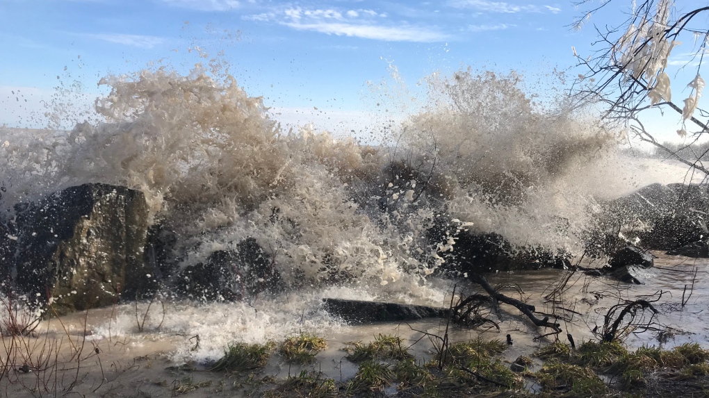
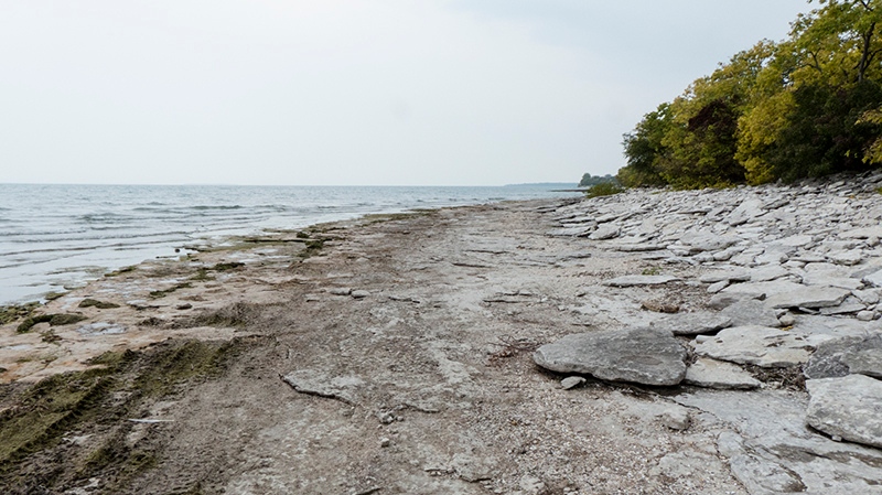
With lake levels already high, officials warn of the possibility of shoreline erosion from damaging waves along sections of Lake Erie and Lake St. Clair.
The greatest area of concern is along the southeast shoreline of Leamington, between Wheatley and the tip of Point Pelee and the north and east sides of Pelee Island.
There's also a potential of impact along the Lake St. Clair shoreline of Lakeshore, Tecumseh and the eastern portions of the City of Windsor.
Areas along the shorelines of Kingsville, Essex and Amherstburg and the shorelines of the Detroit River may also experience increased water levels due to lake setup resulting from the sustained east/northeast winds.
Due to elevated water levels, the ERCA says the City of Windsor should monitor water levels along the flood control dykes within the Little River Drain corridor.
Due to the northeast winds and elevated lake levels, the Municipality of Leamington should monitor the flood control dykes in the Southeast Leamington area.
As much as 70 millimeters of rain over the weekend runs the risk of standing water in low lying areas.
The Lower Thames Valley Conservation Authority also warns of localized flooding, and has issued a flood outlook.
LTVCA officials says water levels on the Thames River would be expected to rise with the peak reaching the upstream areas on Monday or Tuesday. Water levels on the river would be expected to remain high most of next week.
People are encouraged to take extra caution and avoid shoreline areas during wind and lake wave events. The combination of slippery banks, waves, waves overtopping breakwalls and fast moving water can be dangerous.
